Covin Lake Coal Mine - Mine planning & Reserve Estimation for TITAN S.A.
Industry: Mining - Deposit exploration and Mine Planning
Location: Serbia
Duration: 3 months (2011)
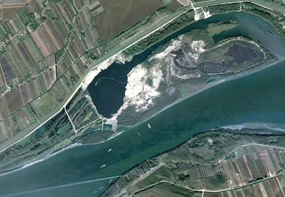
This project involved the reserve evaluation and short term mine planning of the underwater coal mine of Kovin, in Serbia. The excavations are performed below the level of the Dunab and is being constrained by various factors, such as the maximum reach of the dredger, the flow of the Dunab river etc.
The scope of the work involved:
Compilation of available data (data gathering): topo maps, drillings : The data gathering involved the sorting and classification of all data that was provided, either in electronic or in paper format.
Synthesis of the topo-map and creation of the Digital Terrain Model : In order to extrapolate the topography to the West, the elevation data from the drill-hole collars were used and the depth iso-lines were created in the areas that had not yet been documented. This extrapolation was completed through the use of CAD software.
Drillings database - Creation of the contact surfaces : The creation of a drillings database was one of the primary steps towards producing an accurate representation of the area’s geology. The database itself provides immensely useful information regarding:
- The unknown topography to the western part of the area of interest
- The precise depth of the contact between the different layers
- The thickness of each layer
- The inclination of the useful layers (i.e. Coal)
Creation of the 3D Solid Geological Model :
The “Solid Geological Model” is the visual representation of the approximated geological formations of the general area, with the help of specialized computer software, so as to extract necessary information according to multiple parameters, like:
- Boundaries of set limits (i.e. mining area)
- Certain absolute elevations or depth of excavation (depending on the specifications of the dredging machine working on-site).
- Distinction between geological formations and estimates on the reserves for each one of them.
Final pit design per variant and alternative design parameters: Various final pits were designed, based on the specifications that were provided by Titan:
- The area of excavation or mining limits
- The final pit slope angle (safety-in design parameter)
- The final depth of the final pit
- The natural inclination of the coal layer, as it was derived by the graphical representation of the Geological Block Model.
Reserve estimates by raw material type and variant & Master Planning for balanced and unbalanced reserves:
Based on the created Geological Block Model, it was possible to estimate reserves within any selected set of boundaries.
Through trial and error, the mining area was divided into different sectors, each one reflecting one year of mining, capable of providing the annual needs for coal excavation (approx. 715.000tpy).
At the same time, estimates were made on the volume of Overburden, Gravel and Sand that will have to be removed from each ‘Sector’ in advance (preparation period), in order to reveal the coal deposits beneath.